

Size of this preview: 800 × 533 pixels. Other resolutions: 320 × 213 pixels | 640 × 427 pixels | 1,024 × 683 pixels | 1,500 × 1,000 pixels.
Original file (1,500 × 1,000 pixels, file size: 202 KB, MIME type: image/png)
Summary
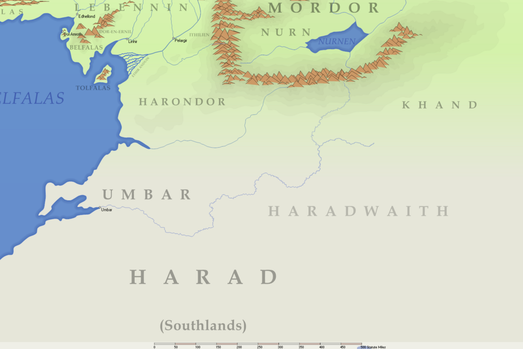
River flowing into the Bay of Umbar adapted from J.R.R. Tolkien's earliest map see at Tolkienist
Licensing
Permission is granted to copy, distribute and/or modify this document under the terms of the GNU Free Documentation License, Version 1.2 or any later version published by the Free Software Foundation; with no Invariant Sections, no Front-Cover Texts, and no Back-Cover Texts.
File history
Click on a date/time to view the file as it appeared at that time.
| Date/Time | Thumbnail | Dimensions | User | Comment | |
|---|---|---|---|---|---|
| current | 08:31, 22 April 2023 | | 1,500 × 1,000 (202 KB) | Smeagol (talk | contribs) | River flowing into the Bay of Umbar adapted from J.R.R. Tolkien's earliest map [https://thetolkienist.com/wp-content/uploads/2019/05/first-map-of-Lord-of-the-Rings_web.jpg see at Tolkienist] |
You cannot overwrite this file.
File usage
The following page uses this file: